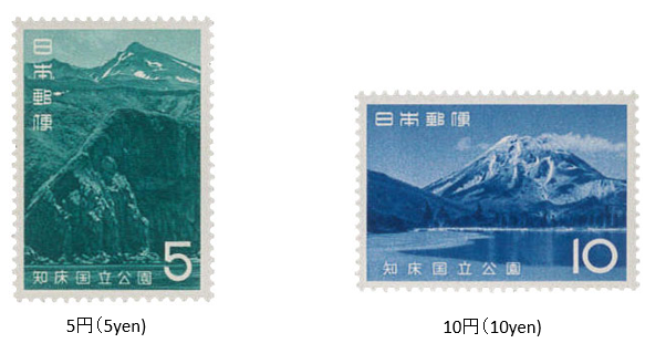
知床国立公園 1965 (昭和40) 11月 15日発行
1965年 (昭和40) 11月、郵政省は知床国立公園切手2種を発行した。
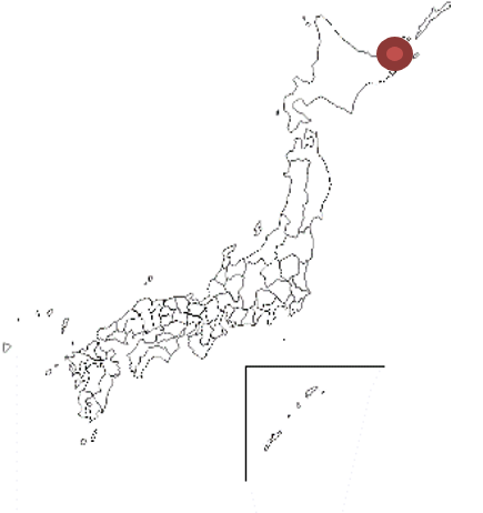
知床国立公園は、北海道の北東部に位置する斜里町と羅臼町にまたがる日本最北東端の国立公園である。知床半島北側が1964年に国立公園として指定された。また、2005年に世界自然遺産として登録された。同公園内には羅臼岳・硫黄山・知床岳などの知床連山があり、相泊温泉・羅臼温泉・などの温泉地も点在する。公園面積は約39,000ha。
「知床」は、アイヌ語で「地の果て」という意味である。
Shiretoko National Park Issued on 11 , 15 , 1965 (Showa 40)
In November 1965, the Ministry of Posts and Telecommunications issued two types of Shiretoko National Park stamps.Shiretoko National Park is the north- easternmost national park in mainland Japan that straddles Shari Town and Rausu Town in the northeastern part of Hokkaido. The north side of the Shire- toko Peninsula was designated as a national park in 1964. It was registered as a World Natural Heritage Site in 2005. There are Shiretoko mountain ranges such as Mt. Rausu, Mt. Iou, and Mt. Shiretoko in the park, and hot spring areas such as Aidomari Onsen and Rausu Onsen are also scattered. Area is about 39,000ha."Shiretoko" means "the end of the land" in the Ainu language.

