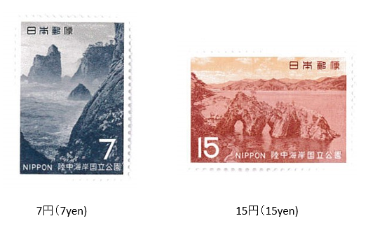
陸中海岸(三陸復興) 国立公園 (第2次) 1969 (昭和44年) 11月 20日発行
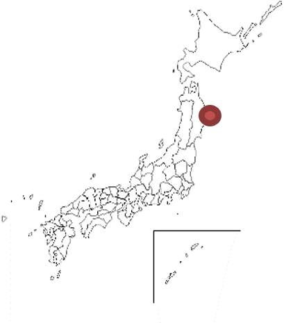
1969年 (昭和49) 11月、郵政省は陸中海岸国立公園切手(2次) 2種を発行した。陸中海岸国立公園は、青森県南部から宮城県の牡鹿半島に至る三陸海岸一帯を占める国立公園。東日本の国立公園では唯一ともいえる本格的な海岸公園である。管理上は北部の八戸・宮古地区と南部の大船渡地区に分割される。面積は12,212 haである。1955年 (昭和30) 5月、陸中海岸国立公園として指定された。
2011年 (平成23年) に発生した東日本大震災による津波で指定区域が大きな被害を受けたことを受け、現在は「三陸海岸復興国立公園」と改名された。
Rikuchu-Kaigan (Sanriku Coastal reconstruction) National Park (Second)
Issued on 11 , 20 , 1969 (Showa 44)
In November 1969 (Showa 49), the Ministry of Posts and Telecommunications issued two types of Rikuchu Kaigan National Park stamps (secondary). Rikuchu Kaigan National Park is a national park that occupies the entire Sanriku coast from southern Aomori prefecture to the Oshika Peninsula in Miyagi prefecture. It is the only full-scale coastal park in the national parks of eastern Japan. In terms of management, it is divided into the Hachinohe / Miyako district in the north and the Ofunato district in the south. The area is 12,212 ha. In May 1955 (Showa 30), it was designated as the Rikuchu Kaigan National Park.The designated area was severely damaged by the tsunami caused by the Great East Japan Earthquake that occurred in 2011, and the name has now been changed to "Sanriku Coastal Reconstruction National Park".

