蔵王国定公園 1966 (昭和41) 3 月 15 日発行
1966年 (昭和41) 3月、郵政省は蔵王国定公園切手1種を発行した。
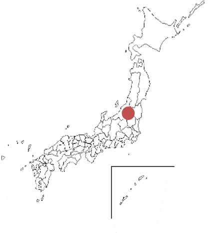
蔵王国定公園は、山形県と宮城県にまたがる蔵王山を中心エリアとする。1963年 (昭和38) に国定公園に指定された。公園面積は396㎢。北は面白(おもしろ)山から地蔵山の北蔵王を経て、南は屏風(びょうぶ)岳から不忘(ふぼう)山まで南北約36Km、東西20Kmである。熊野岳 (1841m) を中心とする一帯は火口湖の「御釜(おかま)」と五色岳、馬ノ背などの外輪山によって形成され、植生は少ない。切手は、蔵王山火口湖 (おかま) がデザインされている。
Zaō Quasi-National Park Issued on 3 , 15 , 1966 (Showa 41)
In March 1966 (Showa 41), the Ministry of Posts and Telecommunications issued one kind of Zao Quasi-National Park stamp.
Zao Quasi-National Park is centered on Mt. Zao, which straddles Yamagata and Miyagi prefectures. It was designated as Quasi-National Park in 1963 (Showa 38). The park area is 396㎢. The north is from Mt. Omoshiro to Mt. Kita Zao. It is about 36km north-south and 20km east-west.The area around Mt. Kumano (1841m) is formed by the "Okama" of the crater lake, Mt. Goshiki, and the outer mountains. such as Umanose. There is little vegetation.
The stamp is designed by Mt. Kumano's "Okama".

