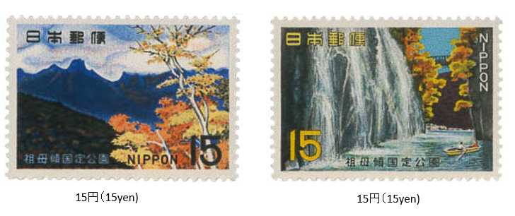
祖母傾国定公園 1967 (昭和42) 12 月 20 日発行
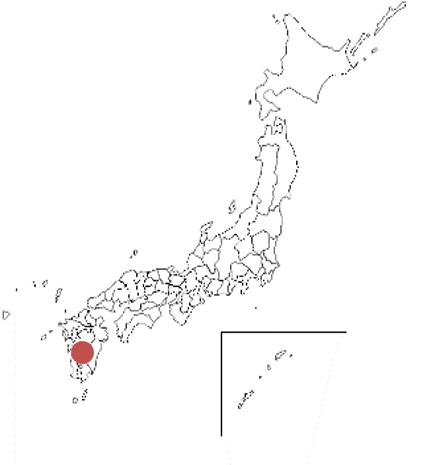
1967年 (昭和42) 12月、郵政省は祖母傾 (そぼかたむき) 国定公園切手2種を発行した。祖母傾国定公園は、大分・宮崎両県にまたがる祖母 (そぼ) 山 (1756m) 、傾 (かたむき) 山 (1605m) を中心エリアとし、1965年に指定された。公園面積は、約220平方㎞である。祖母、傾の他、大崩(おおくえ)山、矢筈(やはず)岳、行縢(むかばき)山、五ヶ所高原山々、高千穂(たかちほ)峡、祝子川(ほうりがわ)渓谷、藤河内(ふじがわち)渓谷などを含む。 切手は、祖母山と高千穂峡がデザインされている。
Sobo - Katamuki Quasi-National Park Issued on 12 , 20 , 1967 (Showa 42)
In December 1967 (Showa 42), the Ministry of Posts and Telecommunications issued two types of Sobo-Katamuki Quasi-National Park stamps.
Sobokatamuki Quasi-National Park was designated in 1965 with the central area of Mt. Sobo (1756m) and Mt. Katamuki (1605m), which straddle both Oita and Miyazaki prefectures. The park area is about 220 square kilometers. In addition to Sobo and Katamuki, this park has Mt. Okue, Mt. Mukabaki, Mt. Mukabaki, the mountains of. Gosho Kogen, Takachiho Gorge, and Horigawa Valley. Includes Fujigawachi Valley, etc.
The stamps are designed by Mt. Sobo and Takachiho Gorge.

