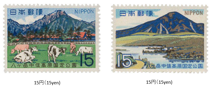
八ヶ岳中信高原国定公園 1968 (昭和43年) 3 月 21 日発行
1968年 (昭和43) 3月、郵政省は八ヶ岳中信高原国定公園切手2種を発行した。
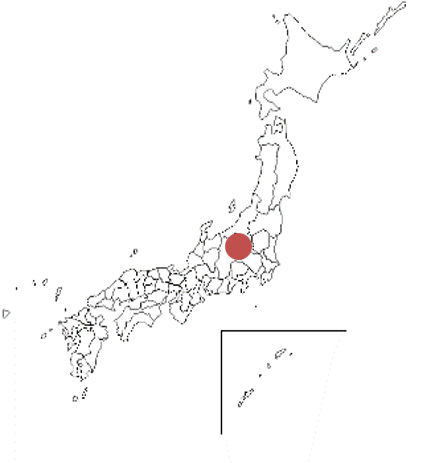
八ヶ岳中信高原国定公園は、長野と山梨両県にわたる八ヶ岳を中心とするエリアである。八ヶ岳とその北部の蓼科(たてしな)山、筑摩(ちくま)山地の一部美ヶ原(うつくしがはら)一帯、諏訪(すわ)湖の北東方にある霧ヶ峰の3地域からなり、1964年 (昭和39) の指定され、公園面積は約400㎢である。この公園の特色は、火山地形と植物にある。
切手は、赤岳と蓼科山がデザインされている。
Yatsugatake-Chūshin-Kōgen Quasi-National Park
Issued on 3 , 21 , 1968 (Showa 43)
In March 1968, the Ministry of Posts and Telecommunications issued two types of Yatsugatake Chushin Kogen Quasi-National Park stamps.
Yatsugatake Chushin Kogen Quasi-National Park is an area centered on Yatsugatake that spans both Nagano and Yamanashi prefectures.This park consists of three areas: Yatsugatake, Mt. Tateshina in the north, the Utsukushigahara area in the Chikuma. Mountains, and Kirigamine in the northeast of Lake Suwa. The park was designated in 1964 (Showa 39) and has an area of about 400 ㎢. The park features volcanic terrain and vegetation. The stamps are designed by Mt. Aka and Mt. Tateshina.

