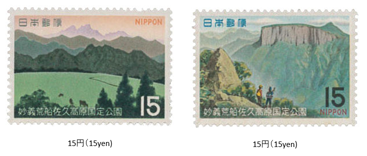
妙義荒船佐久高原国定公園 1970 (昭和45) 9 月 11 日発行
1970年 (昭和45) 9月、郵政省は妙技荒船佐久高原国定公園切手2種を発行した。
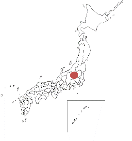
妙義荒船佐久高原国定公園は、群馬長野にまたがる山脈と高原を主としたエリアである。 1969年に指定され、公園面積は約131㎢である。北東端が妙義山で、荒船山などを経て、南端の十石(じっこく)峠に至る1000メートル級の山岳地帯と、西側の緩やかな傾斜の佐久高原が組み合わされている。妙義山の奇岩・怪石や、山頂が平坦溶岩台地の荒船山、十石峠付近の壮年期山地等に特色がある。切手は、妙義山と荒船山がデザインされている。
Myōgi-Arafune,Saku-Kōgen Quasi-National Park Issued on 9 , 11 , 1970 (Showa 45)
In September 1970 (Showa 45), the Ministry of Posts and Telecommunications issued two types of stamps for the Myogi-Arafune Saku Kogen Quasi-National Park.
Myogi-Arafune Saku Kogen Quasi-National Park is an area mainly consisting of mountains and plateaus that straddle Gunma Nagano.Designated in 1969, the park area is approxi- mately 131 ㎢. Mt. Myogi is located at the northeastern end, and the 1000-meter-class mountainous area that reaches the Jikkoku Pass at the southern end via Arafuneyama. and the gently sloping Saku Plateau on the west side are combined.It is characterized by strange rocks and mysterious stones on Mt. Myogi, Arafuneyama on a flat lava plateau, and the middle-aged mountains near the Jikkoku Pass.
The stamps are designed by Mt. Myogi and Mt. Arafune.

