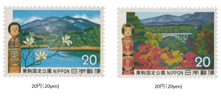
栗駒国定公園 1972 (昭和47) 6 月 20 日発行
1972年 (昭和47) 6月、郵政省は栗駒国定公園切手2種を発行した。
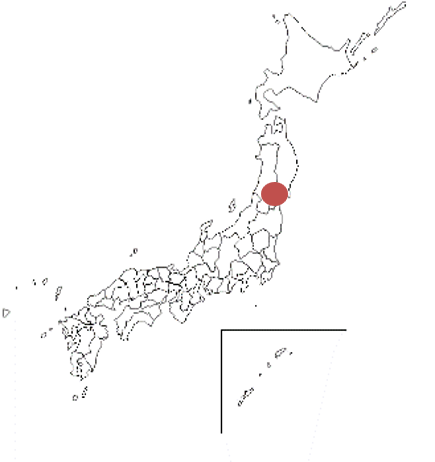
栗駒国定公園は、秋田、岩手宮城、山形の4件にわたるエリアである。複式コニーデ型の栗駒山 (1626メートル) を中心にした地域と、北方の焼石岳 (1547メートル) を加えた地域に区分される。1968年に指定され、公園面積は約771㎢である。宮城県側と秋田県側に、それぞれ多くの温泉がある。また、公園内には多くの高山植物が生息している。切手は、栗駒山と鳴子峡とこけしがデザインされている。
Kurikoma Quasi-National Park Issued on 6 , 20 , 1972 (Showa 47)
In June 1972, the Ministry of Posts and Telecommunications issued two types of Kurikoma Quasi-National Park stamps.
Kurikoma Quasi-National Park is an area that covers Akita, Iwate, Miyagi, and Yamagata prefectures. It is divided into an area centered on Mt. Kurikoma (1626 m), which is a compound conide type, and an area including Mt. Yakeishi (1547 m) in the north.
Designated in 1968, the park area is approximately 771 ㎢. There are many hot springs. in Miyagi and Akita prefectures. In addition, many alpine plants inhabit the park.
The stamps are designed with Mt. Kurikoma, Naruko Gorge and "Kokeshi" (Japanese traditional wooden toys).

