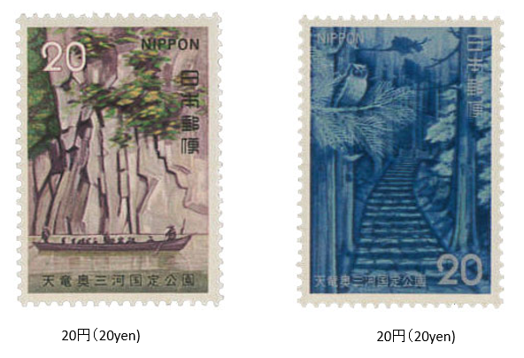
天竜奥三河国定公園 1973 (昭和48) 9 月 18 日発行
1973年 (昭和48) 9月、郵政省は天竜三河国定公園切手2種を発行した。
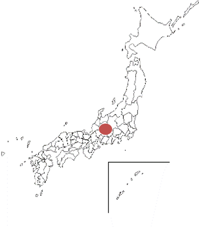
天竜三河国定公園は、長野・静岡・愛知3県にまたがる天竜川、豊川(とよがわ)水系に沿う、山と渓谷のエリアである。公園面積は257㎢で、1969年に指定され、1970年に東海自然歩道沿線を本公園に追加した。本州の中央構造線が通るため、地形、地質の変化に富み、動植物の種類も多く、霊山、名勝、史跡などに富んでいる。
切手は、「天竜峡」と「鳳来寺山」がデザインされている。
この切手をもって、国定公園切手シリーズ (40公園) は完了した。
Tenryū-Okumikawa Quasi-National Park Issued on 9 , 18 , 1973 (Showa 48)
In September 1973 (Showa 48), the Ministry of Posts and Telecommunications issued two types of Tenryu Mikawa Quasi-National Park stamps.
Tenryu Mikawa Quasi-National Park is an area of mountains and valleys along the Tenryu River and Toyokawa water systems that straddle the three prefectures of Nagano, Shizuoka, and Aichi.The park area is 257 ㎢and was designated in 1969. Since the Median Tectonic Line of Honshu passes through this area, there are many. changes in topography and geology, there are many types of flora and fauna, and there are many sacred mountains, scenic spots, and historic sites.
The stamps are designed with "Tenryu Gorge" and "Mt. Horaiji".
With this stamp, the Quasi-National Park Stamp Series (40 Parks) was completed.

